
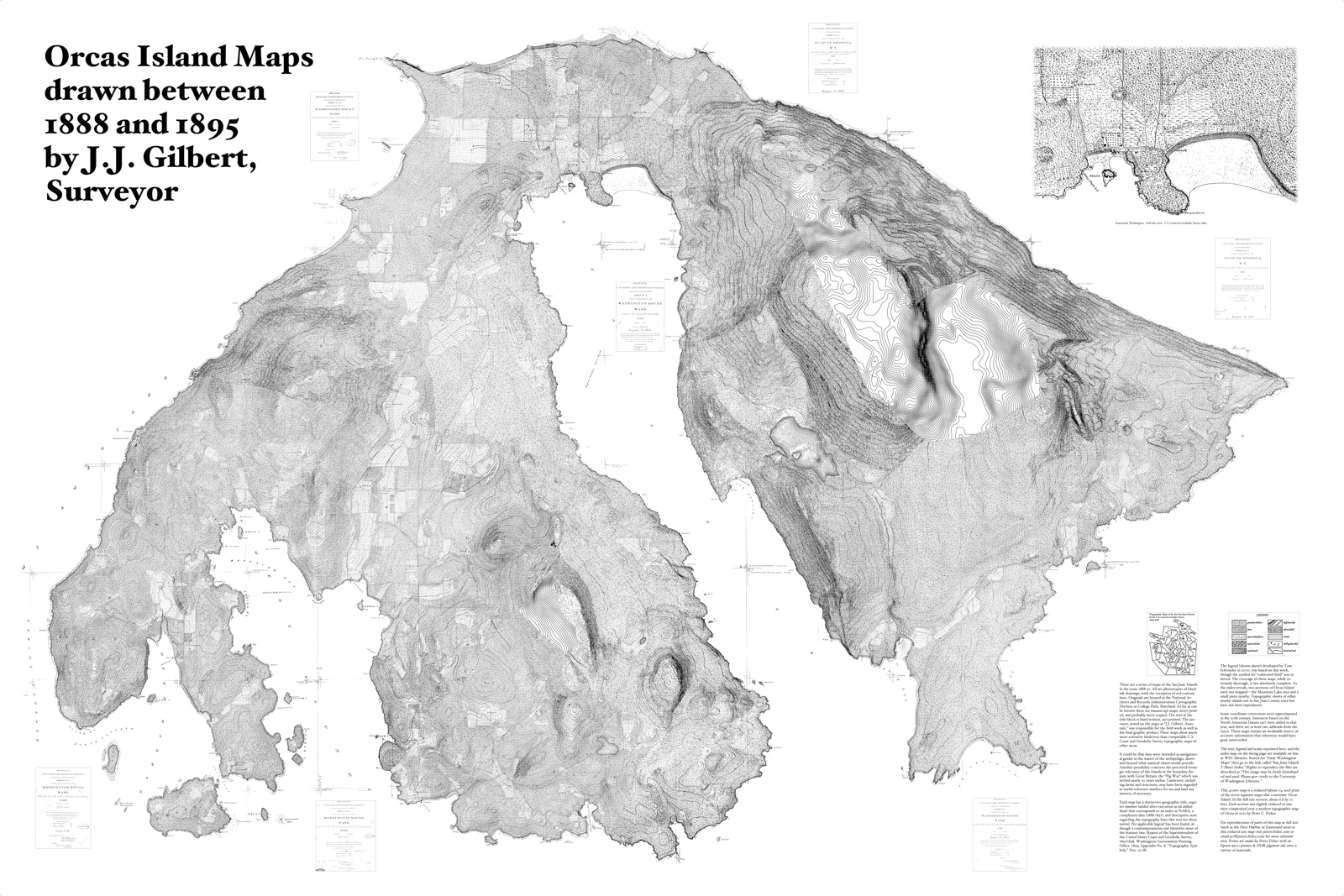
This historic J.J. Gilbert map was originally drawn in seven pieces, then put together by Peter fisher to create this 1/4-size, 40"x60" piece. The map, in its entirety, shows details like roads, orchards, homesites, owners names, etc..
These historic, Gilbert maps show much more extensive landcover than comparable U.S. Coast Guard or Geodetic Survey topographic maps. The original scans are available online at the WSU Libraries Digital Collections.

This section of the historic, J.J. Gilbert map features details of Eastsound and its surroundings.
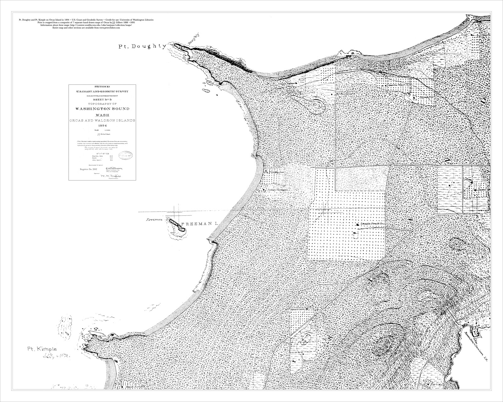
This section of the historic, J.J. Gilbert map shows details from Pt. Kimple to Pt. Doughty.

This section of the historic, J.J. Gilbert map features details of Massacre Bay and Westsound.

This section of the historic, J.J. Gilbert map shows details of the Deer Harbor area.

This section of the historic, J.J. Gilbert map shows details of the Pole Pass and Crane Island.

This section of the historic, J.J. Gilbert map shows details of Cascade Lake and Cascade Bay before Rosario Mansion was built.

This section of the historic, J.J. Gilbert map shows details from Orcas Landing to Grindstone Harbor.
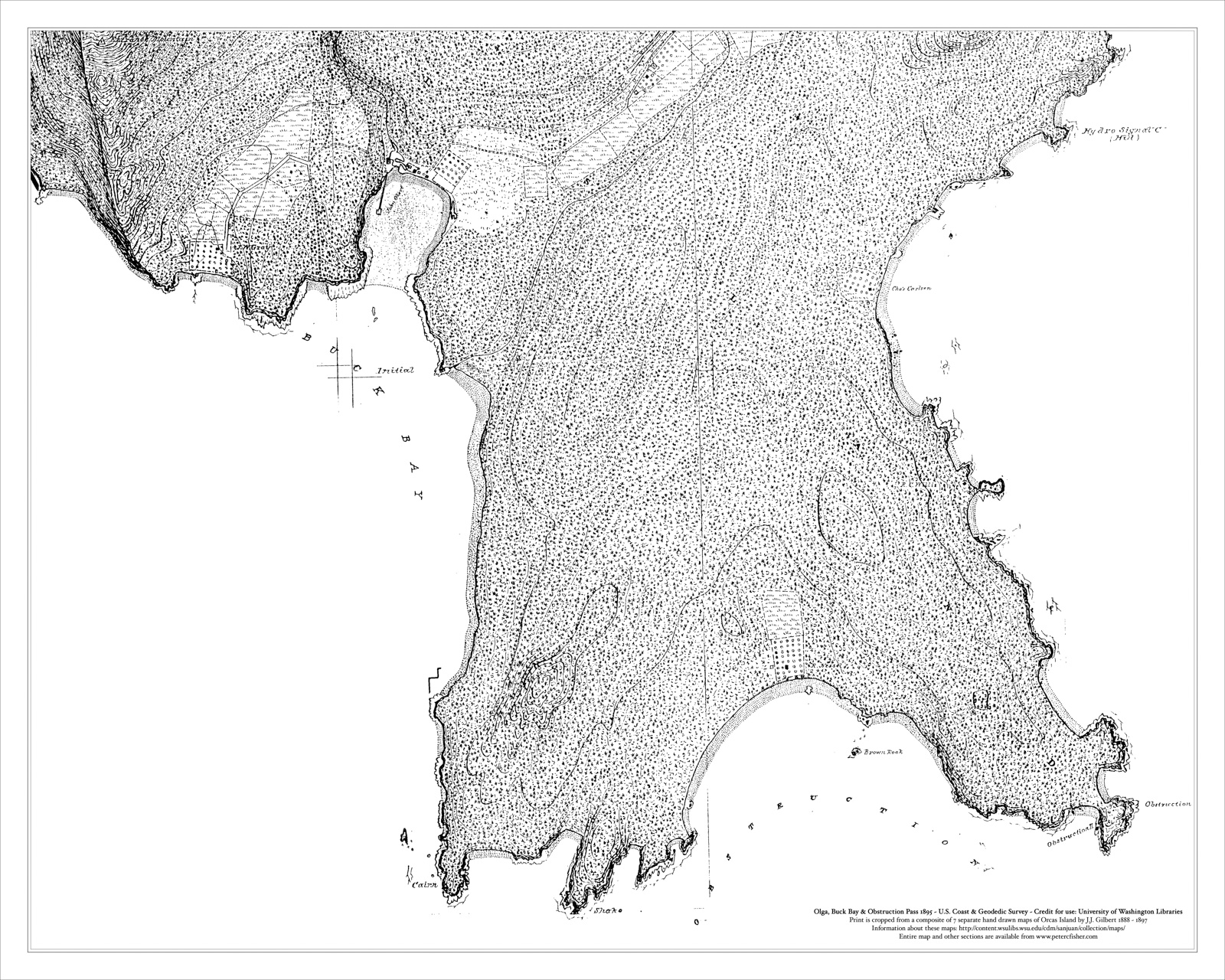
This section of the historic, J.J. Gilbert map shows details from Olga and Buck Bay to Obstruction Pass.
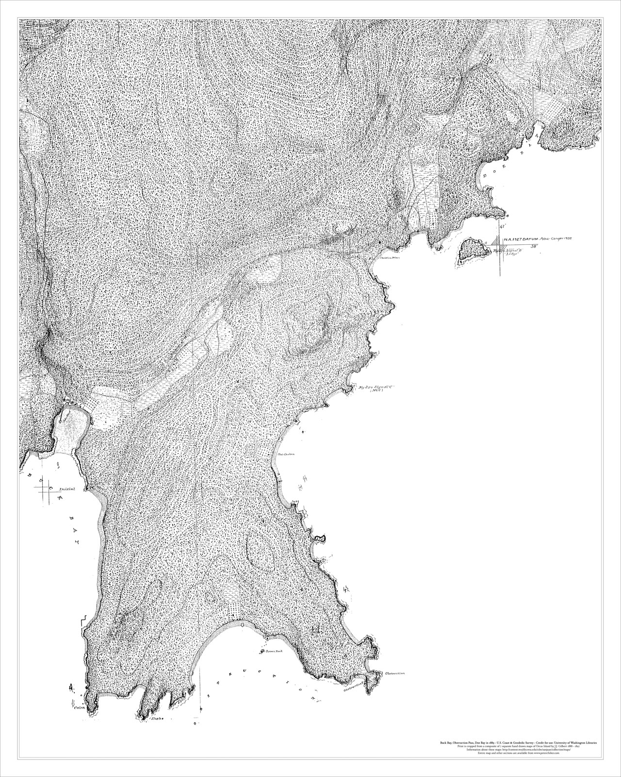
This section of the historic, J.J. Gilbert map shows details from Buck Bay to Doe Bay.

This section of the historic, J.J. Gilbert map shows details from Doe Bay to Point Lawrence.